New OpenStreetMap view and Satellite Data visualizations
Addition of Satellite Data
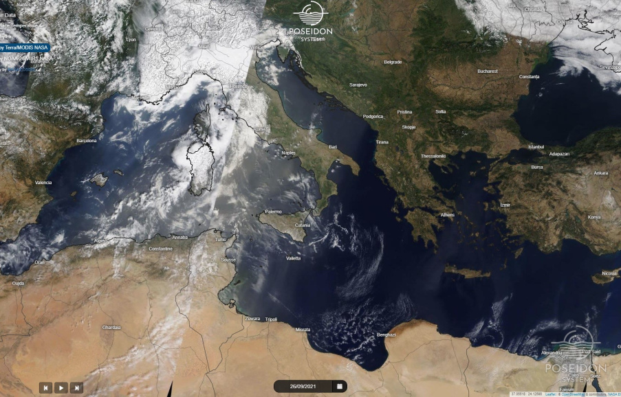
A new section has been added in the services of the POSEIDON system for displaying satellite data on an interactive map.
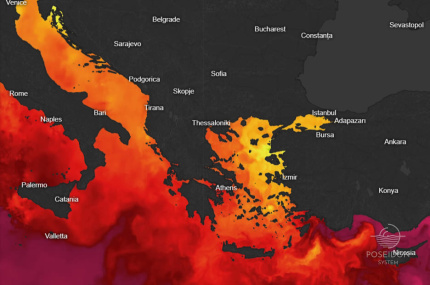
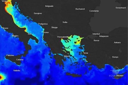
The user may have access to satellite maps of the temperature and the chlorophyll-A at the sea surface (data provided by Copernicus Marine Service)
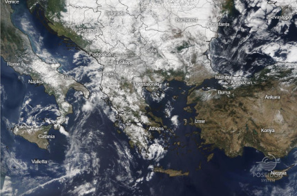
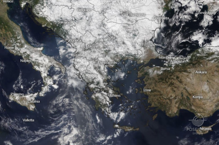
as well as true color satellite images of the Mediterranean and Southern Europe taken by NASA’s Terra and NOAA-20 polar orbiting satellites.
The data is downloaded on a daily basis while additional navigation to previous dates is available to users.
The user can access the satellite maps through different ways:
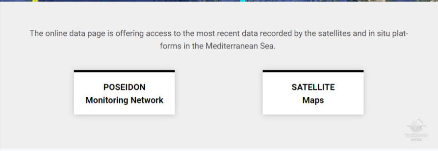
A. In Front Page, under DATA section click on button SATELLITE Maps
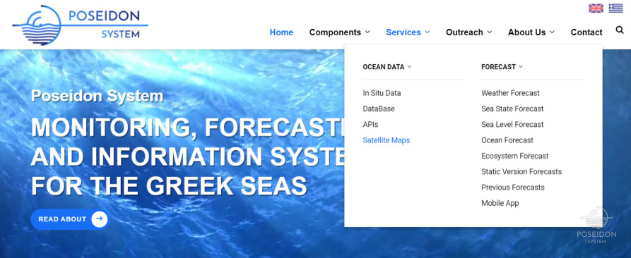
B. Main Menu (on the header), click Services, then Satellite Maps
C. On Forecast Map, at the top right corner of the screen, click on the Satellite Icon
New features have also been added to POSEIDON forecast maps:
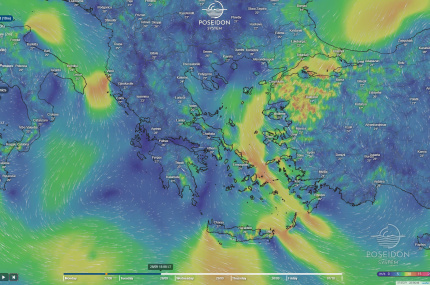
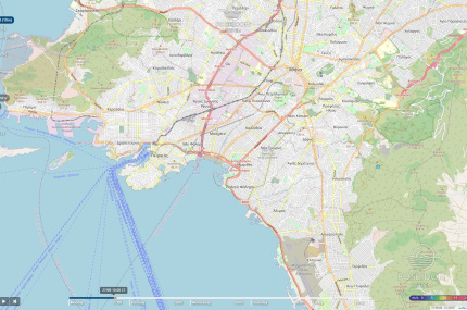
- The OpenStreetMap layer has been added in the last zoom levels of the map to make it easier to the user to locate the point of interest. The forecasting image is not displayed on these levels when OpenStreetMap view is activated. The user can click on any point on the map and to see the relevant parameter value if it is provided by the forecasting model.
- The direct display of city temperature is now provided on the meteorological maps for the time period selected by the user.


